Nashik Ward Map 2026: Municipal Corporation Boundaries and Delimitation for Nashik Elections
The Nashik Municipal Corporation (NMC) is preparing for its upcoming civic elections in 2026 with a draft ward demarcation that maintains the structure from previous polls. This article examines the ward boundaries, composition, and delimitation process based on the recently approved draft.
Overview of Ward Structure
Nashik Municipal Corporation operates with 31 wards in total, comprising 29 wards with four corporators each and two wards with three corporators. This setup results in a total of 122 corporators, unchanged from the 2017 elections. Wards 15 and 19 are the exceptions, each electing three members, while the rest follow the four-member format.
The delimitation process uses the 2011 census population base, as no new census has been conducted. Nashik’s population from that year stood at approximately 12.84 lakh, leading to an average of 55,000 voters per ward. This marks an increase of 12,000 to 15,000 voters compared to 2017, reflecting population growth over the years.
Draft Demarcation Approval and Timeline
The State Election Commission approved the draft ward composition on August 22, 2025, empowering the Municipal Commissioner to publish it in the Official Gazette. The Nashik Municipal Corporation released the draft shortly after, making maps and details available on its website and at key locations.
Residents can submit suggestions and objections until September 4, 2025. These will be reviewed by the urban development department, with verification scheduled between September 16 and 22, 2025. The final ward demarcation is expected between October 3 and 6, 2025, setting the stage for the 2026 elections.
The draft is displayed at NMC headquarters, Rajiv Gandhi Bhavan, and six divisional offices, ensuring public access. This transparency allows citizens to engage in the process and influence boundaries before finalization.
Key Features of Ward Boundaries
The ward formation mirrors the 2017 configuration, starting with Makhamalabad area as Ward No. 1 in the northern part. Population groups have been combined to form wards with an average population of 55,000, promoting balanced representation.
Boundaries integrate existing development plans and geographic features. For instance, areas like the Nashik-Makhmalabad Greenfield Town Planning Scheme highlight northern limits along the Godavari river’s left bank canal, with southern edges at the riverfront, eastern at Ramwadi Nala, and western along a 30-meter development plan road. These elements ensure wards align with natural and planned infrastructure.
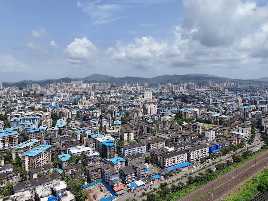
The NMC spans about 267.48 square kilometers, incorporating 25 villages, some partially. Population density averages 5,556 persons per square kilometer based on 2011 data, influencing how villages like Manur, Nandur-Dasak, and others are distributed across wards.
Implications for 2026 Elections
Maintaining the 2011 base and ward numbers avoids major disruptions, benefiting continuity in civic governance. In 2017, the Bharatiya Janata Party (BJP) secured 66 seats, Shiv Sena 35, with others sharing the rest. The unchanged structure may favor established parties familiar with these boundaries.
However, rising voter numbers per ward could intensify competition, especially in growing urban pockets. Political parties and residents are closely monitoring the process, given the stakes in Nashik’s seventh five-yearly civic polls.
Accessing Ward Maps and Details
Detailed ward maps are available on the NMC official website. Residents can download PDFs outlining boundaries, population data, and corporator allocations. For physical viewing, visit NMC headquarters or divisional offices.
For broader context, the Nashik District website provides related administrative updates, though ward-specific details remain with NMC.
Public Participation and Next Steps
The objection period ending September 4, 2025, is crucial for refinements. Citizens are encouraged to review maps and submit feedback via designated channels at NMC offices. Post-verification, the final map will guide candidate nominations and polling stations for 2026.
This delimitation underscores NMC’s commitment to equitable representation amid Nashik’s expansion. As elections approach, ward boundaries will shape local leadership addressing urban challenges like infrastructure and services.
(Word count: 712)